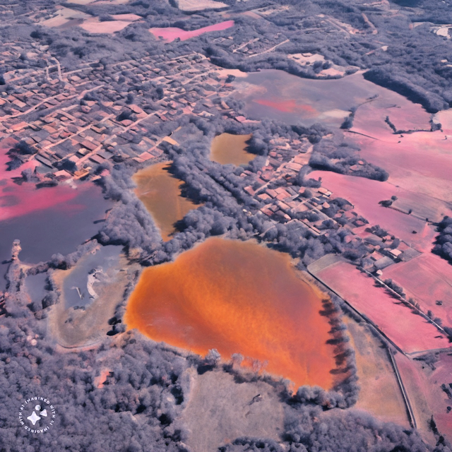
Unveiling Insights: A Comprehensive Guide to Aerial Imagery Analysis Tools
Empowering Your Analysis with Advanced Software Solutions
Key Takeaways
-
Software Empowerment: Explore the world of aerial imagery analysis with these powerful tools, enhancing your data processing capabilities.
-
Specialized Solutions: Each tool offers unique features catering to diverse needs, from spatial mapping to photogrammetry, providing a comprehensive toolkit for professionals and enthusiasts alike.
-
Efficiency and Learning: Efficiently utilize the tools by familiarizing yourself with their capabilities through online tutorials and documentation, ensuring a seamless integration into your projects.

Unleashing the Power of Aerial Imagery Tools
The realm of aerial imagery analysis has evolved significantly, with software tools playing a pivotal role in extracting meaningful insights from vast datasets. Here, we delve into the essential software solutions that form the backbone of modern aerial data analysis.
-
QGIS: Unlocking the potential of open-source GIS, QGIS stands as a robust tool for spatial data analysis, mapping, and visualization. Catering to a diverse user base, from researchers to GIS professionals, QGIS provides a rich set of features for comprehensive data interpretation.
Beyond its intuitive interface, QGIS supports an extensive library of plugins that extend its functionality. The platform's open nature encourages community collaboration, resulting in continual updates and improvements. Whether you're analyzing environmental changes or planning urban developments, QGIS stands as a versatile and reliable companion.
As part of its spatial analysis capabilities, QGIS allows users to perform overlay operations, conduct proximity analysis, and visualize data in various ways. The ability to work with different file formats enhances interoperability, ensuring seamless integration with diverse data sources.
-
ENVI: Tailored for remote sensing and geospatial analysis, ENVI emerges as a specialized tool for extracting intricate details from aerial imagery. Whether analyzing infrared data for environmental monitoring or conducting feature extraction for land cover studies, ENVI's advanced capabilities empower users with precision.
ENVI's feature-rich environment includes tools for image classification, change detection, and atmospheric correction. The platform's spectral analysis capabilities enable users to identify specific materials and phenomena, adding a layer of sophistication to the analysis process.
Targeting both beginners and seasoned professionals, ENVI combines ease of use with advanced functionalities. Its compatibility with various sensor types and image formats makes it a go-to choice for projects demanding accuracy and reliability.
-
ArcGIS: Engineered by Esri, ArcGIS is a comprehensive GIS platform that transcends mapping and analysis. From urban planning to environmental impact assessment, ArcGIS offers a suite of tools for spatial modeling, 3D analysis, and interactive mapping.
One of ArcGIS's standout features is its ability to create visually compelling maps, enhancing the communication of complex spatial information. The platform's integration with a vast array of data sources, including real-time feeds, further extends its utility in dynamic projects.
ArcGIS's spatial analysis tools provide solutions for problems ranging from route optimization to site selection. The platform's scalability, coupled with its user-friendly interface, positions it as an industry standard for GIS professionals navigating the complexities of spatial data.
-
Agisoft Metashape: A key player in the field of photogrammetry, Agisoft Metashape transforms aerial imagery into detailed 3D models. Whether reconstructing landscapes, buildings, or archaeological sites, this photogrammetric software offers a streamlined workflow for creating high-quality aerial maps.
Agisoft Metashape's structure-from-motion (SfM) algorithms process overlapping images, deriving precise spatial information. The platform's dense point cloud generation and mesh creation capabilities contribute to the development of accurate 3D models.
Geared toward professionals engaged in surveying, mapping, and cultural heritage documentation, Agisoft Metashape ensures that the intricacies of the terrain are faithfully represented. The software's efficiency in handling large datasets makes it a valuable asset in projects demanding meticulous attention to detail.
-
Google Earth Engine: Embracing the power of the cloud, Google Earth Engine redefines the scale at which geospatial data can be analyzed. Tailored for researchers, scientists, and developers, this cloud-based platform facilitates the exploration and analysis of petabytes of Earth observation data.
Google Earth Engine leverages Google's extensive computational infrastructure to process and visualize geospatial datasets. Users can tap into a vast data archive, including Landsat and Sentinel imagery, without the burden of local storage constraints. This scalability makes it an ideal choice for projects demanding large-scale analysis, such as global land cover mapping or climate change assessments.
The platform's JavaScript API allows users to develop custom scripts, enabling the creation of tailored analysis workflows. Google Earth Engine's collaborative features further enhance its appeal, fostering a community of researchers and scientists engaged in impactful geospatial studies.
Tips for Effective Usage
Navigating the diverse landscape of aerial imagery analysis tools requires a strategic approach. Here are some tips to enhance your efficiency:
-
Tool Familiarity: Invest time in understanding the specific capabilities of each tool. Familiarity with the nuances of QGIS, ENVI, ArcGIS, Agisoft Metashape, and Google Earth Engine ensures that you leverage their full potential.
-
Learning Resources: Explore online tutorials, documentation, and user forums associated with each tool. The wealth of learning resources available online provides valuable insights and troubleshooting tips, expediting the learning curve.
-
Scalability Considerations: Assess the scalability and compatibility of the tools concerning your project requirements. Understanding the limitations and strengths of each tool ensures that you select the most suitable option for your specific use case.
Conclusion
Embark on a journey of data analysis and interpretation with these powerful aerial imagery tools. Whether you're unraveling the secrets of a landscape or contributing to environmental research, the capabilities offered by QGIS, ENVI, ArcGIS, Agisoft Metashape, and Google Earth Engine form a formidable arsenal. For in-depth information and tutorials, explore the official
One Kappa Eagle Eye
Unlock the power of precise imagery with Eagle Eye! Access low-cost ultra-high resolution imagery through our user-friendly web application.
Get Imagery